12.2015 - 01.2016
The official map of Rome references the Situationist derive, portraying the romantic idea of the city, a place for wandering and discovery that can be apprehended only through the navigation of its urban fabric. And this conceptual model certainly reflects the reality; every corner, twist, piazzale beckons to further discovery of another treasure. Yet, as enticing as this spontaneity is to our contemporary sensibilities (and picturesque Rome had always been one of the essential destinations of the architectural grand tour) it was in contradiction with the inter-war Fascist ideals of order and hierarchy.
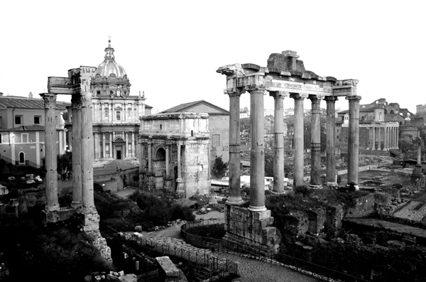
Roman Forum from the Capitoline Hill
Mussolini carried out major archaeological investigations into the Roman remains at the center of the city, which included clearing out Byzantine projects. The meandering medieval city so evocative to visiting architects would be stripped away to create a direct link through history to the Roman Empire as a means to legitimize the regime. The excavation and monumentalization of these classical projects and the construction of modern, efficient, hygienic districts was part of the same project to imbue the new fascist city with Romanita[1]. Whereas the work of medieval and Renaissance architects built (often quite literally) upon the foundations of Roman buildings, Mussolini intended to excavate classical projects from the chaff of the medieval city.
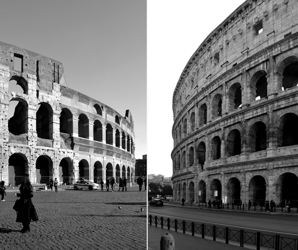
The Colosseum, or the Flavian Amphitheater
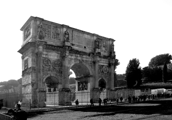
The Arch of Constantine
Although there were major building projects like the Piazza Augusto Imperatore within the historic city, many of the new districts were on the periphery including the Foro Mussolini (now Foro Italico) to the North across the river, the Sapienza University towards the East but now easily within the metropolitan area, and Cinecitta to the Southeast. The most magnificent of these districts was to be E42 built for the Esposizione Universale Roma, planned for the 20th anniversary of the March on Rome in 1942 and intended to be a permanent new part of the city – now called EUR. Its planning was similar to that of military camps and planned cities, on axes, with buildings marching down a grid of streets, related to the new towns in the Agro Pontino developed during the same period but for a grander purpose. EUR was to be the link on the most glorious road of all, the Via Imperiale, connecting the ancient center at the Roman Forum to the sea at Ostia and beyond towards a new empire.
What at one time was Via Imperiale is now Via Cristobal Colon, and it becomes essentially a freeway once it leaves the city walls, having three lanes in each direction, along with two access lanes on either side. As it passes through EUR the access lanes merge into the roads of the district. Approaching EUR the sidewalk drops away, and is diverted to Via Laurentina, once the ancient Laurentian Say.
It cannot be denied that EUR was built for the car, and while in the center of Rome their presence is limited by the constrained street dimensions, here they occupy every space possible, sometimes even parked under a building portico. The roads were not just an amenity for modern life or an expression of the Futurists, these roads were “fundamental to the fabrication of national unity[2]” connecting the regions of Italy. EUR, though not bounded by walls feels isolated, but curiously it is the roads which cross into the zone that create division rather than connection within the district.
The multiple lanes, heavy traffic, and the extreme difficulty of reaching EUR on two feet serve to isolate it from the surroundings, framing Mussolini’s project of a new Romanita as a discontinuous urban phenomena – a physical manifestation of the shortcomings and eventual discontinuity of the political project he championed.
Images in this chapter are approximately ordered geographically along the new roads, from North at the Colosseum to South at the Museo Civilita Romana.
1. Arthurs, Joshua. Excavating Modernity: The Roman Past in Fascist Italy.
2. Ghirardo, Diane Yvonne. Italy: Modern Architectures in History.
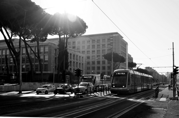
Ministero dell’Africa Italiana, now the UN Food & Agricultural Organization
The start of the former Via Imperiale
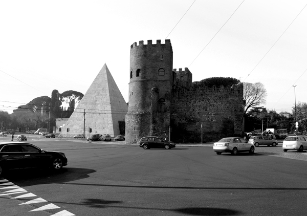
The pyramid of Caius Cestius and Porta San Paolo
.
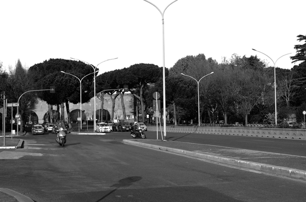
Via Cristoforo Colombo passing through the Aurelian Wall
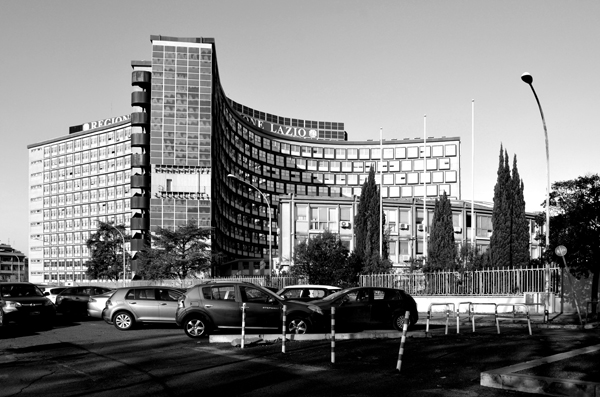
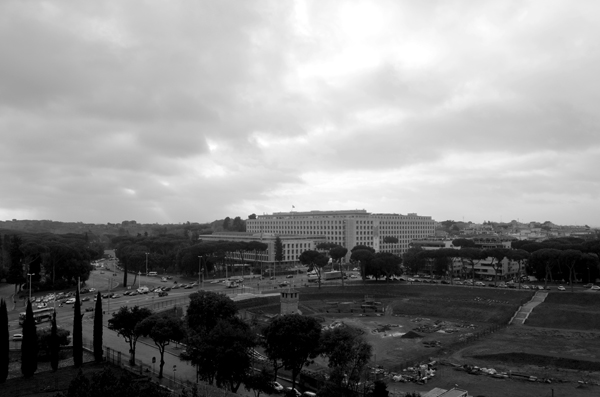
Offices for the Lazio Region along Via Cristoforo Colombo
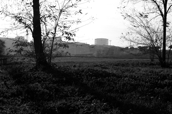
A glimpse of EUR from the Laurentian Way
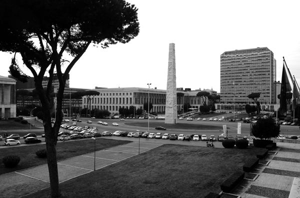
Piazzale delle Nazioni Unite
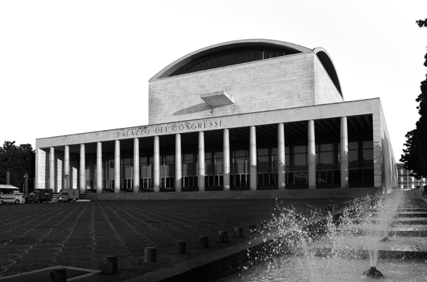
Palazzo dei Congressi
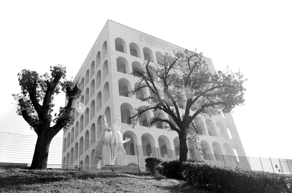
Palazzo della Civiltà Italiana
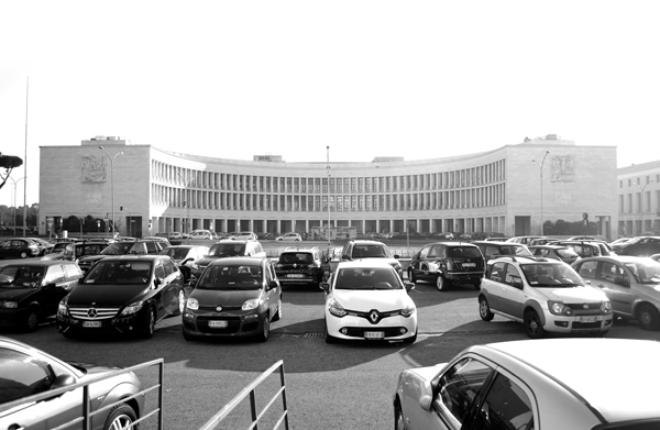
Piazza Imperiale, now Piazza Guglielmo Marconi
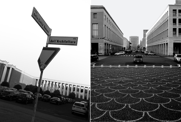
EUR Streetscape
